
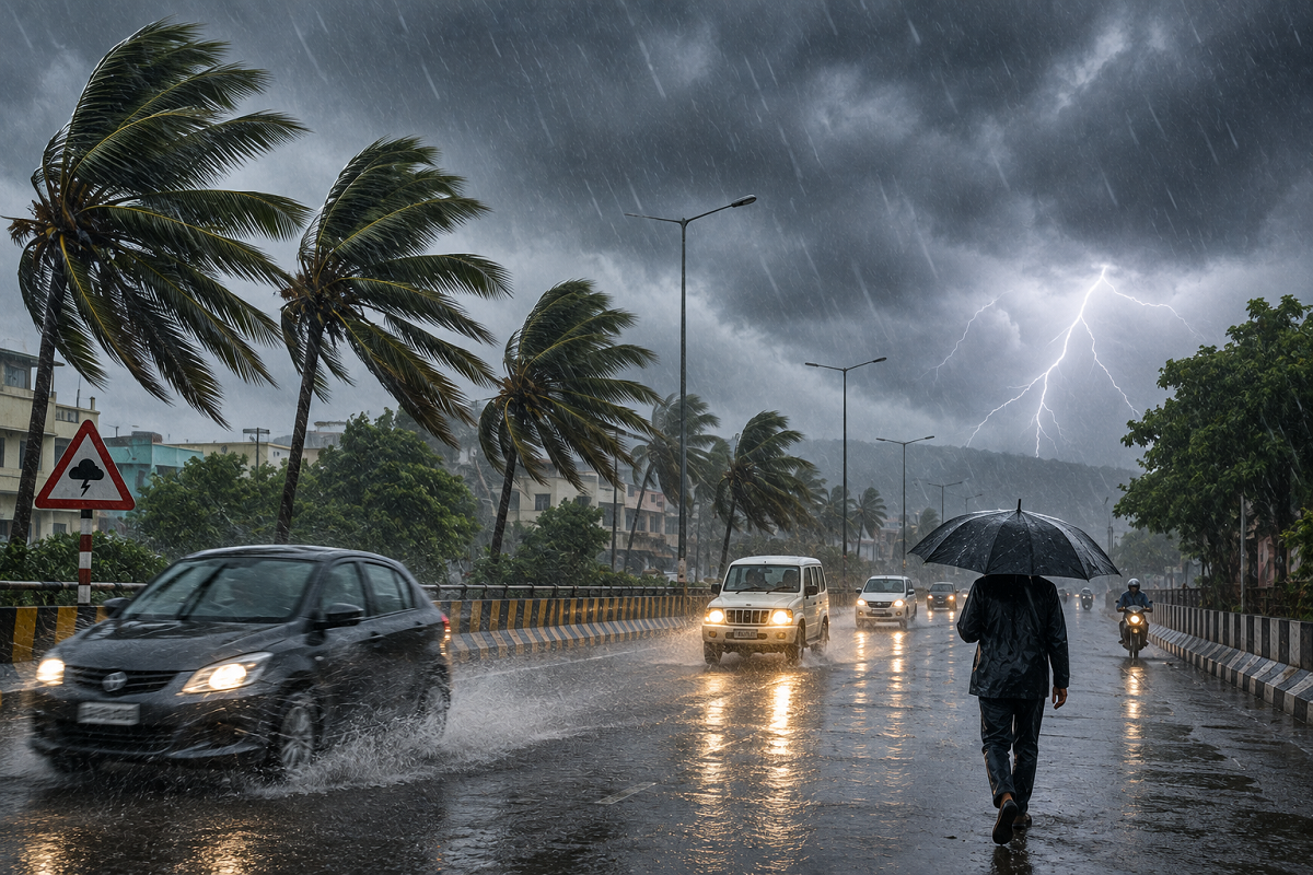
India is set to witness another spell of intense monsoon weather on Monday, August 24, 2026, with the India Meteorological Department (IMD) warning of heavy to very heavy rainfall, thunderstorms, lightning and strong winds across several parts of the country.
According to the latest IMD weather bulletin issued on August 23, active monsoon conditions are expected to continue across northwest, central, eastern and parts of southern India. A low-pressure area over the northwest Bay of Bengal and adjoining region is also influencing weather conditions and could bring widespread rainfall to several states. (Mausam)
People living in vulnerable areas have been advised to remain cautious, particularly where intense rainfall could lead to waterlogging, landslides, falling trees or disruption to road traffic.
Heavy Rain Expected in Many States on August 24
Rainfall activity is likely to remain strong across parts of Uttar Pradesh, Bihar, Delhi-NCR, Rajasthan, Madhya Pradesh, Uttarakhand, Himachal Pradesh, Jammu and Kashmir, Punjab, Haryana, Jharkhand, West Bengal, Odisha and several northeastern states.
Parts of Maharashtra, Gujarat and southern India could also experience thunderstorms and rain.
The exact intensity of rainfall will differ from one region to another. In some areas, the main risk may be heavy rainfall, while other places could experience thunderstorms, lightning and gusty winds.
IMD's subdivision-wise warnings indicate very heavy rain along with thunderstorms and lightning over parts of East Madhya Pradesh on August 24. (Mausam)
Low-Pressure Area Over Bay of Bengal Influencing Monsoon
One of the major weather systems behind the fresh spell of rain is a low-pressure area that formed over the northwest Bay of Bengal and neighbourhood on August 23.
The associated cyclonic circulation extends several kilometres above mean sea level, according to IMD observations.
The monsoon trough is also active and extends through parts of Punjab, Uttar Pradesh, Bihar and eastern India before reaching the low-pressure system over the Bay of Bengal. These conditions are supporting increased moisture and widespread rainfall. (Mausam)
Delhi Weather on August 24
Delhi and surrounding areas may see cloudy skies, spells of rain and thunderstorms on Monday.
Some reports indicate the possibility of strong winds during thunderstorms. Residents should remain cautious around trees, temporary structures and waterlogged roads during intense weather.
The temperature in Delhi is expected to remain around 34°C at the maximum and about 28°C at the minimum, although actual temperatures can vary depending on rainfall and cloud cover.
Commuters should check local weather and traffic updates before leaving home, particularly during morning and evening peak hours.
Uttar Pradesh Weather Forecast
Several districts of Uttar Pradesh may experience rain and thunderstorms on August 24.
Areas around Meerut, Ghaziabad, Gautam Buddha Nagar, Moradabad, Aligarh, Agra, Mathura, Kanpur, Gorakhpur, Ayodhya, Prayagraj, Varanasi and parts of Bundelkhand could see unstable weather conditions.
Heavy rainfall can lead to temporary waterlogging in low-lying areas and reduced visibility on highways.
Lucknow is expected to record temperatures of around 33°C maximum and 28°C minimum.
Bihar May See Rain and Thunderstorms
Rainfall activity is also expected across several districts of Bihar.
Areas including Patna, Gaya, Gopalganj, Siwan, Saran, East and West Champaran, Darbhanga, Madhubani, Purnia, Kishanganj, Araria, Bhagalpur and Begusarai may witness rain accompanied by thunderstorms at some places.
Patna's temperature could remain around 34°C during the day and 28°C at night.
Residents should avoid open areas during lightning and take shelter inside a permanent building whenever thunderstorms develop.
Heavy Rain Risk in Uttarakhand and Himachal Pradesh
The Himalayan states remain particularly vulnerable during prolonged monsoon rainfall.
Parts of Uttarakhand, including Chamoli, Rudraprayag, Pithoragarh, Nainital, Uttarkashi, Tehri Garhwal and adjoining districts, may experience heavy rainfall.
Similarly, several parts of Himachal Pradesh, including Kullu, Mandi, Kangra, Sirmaur, Solan, Bilaspur and nearby areas, could see rain and thunderstorms.
Travellers heading to hill stations or pilgrimage destinations should check road conditions before starting their journey. Landslides, falling rocks and temporary road blockages remain possible during intense rainfall.
Rajasthan and Madhya Pradesh Also on Alert
Rain and thunderstorms are possible across parts of Rajasthan, including Jaipur, Kota, Baran, Jhalawar, Ajmer, Udaipur, Bharatpur, Chittorgarh and several western districts.
Jaipur may record a maximum temperature close to 34°C and a minimum near 27°C.
In Madhya Pradesh, areas around Bhopal, Indore, Ujjain, Dhar, Ratlam, Khandwa, Seoni, Gwalior and Shivpuri may experience rainfall.
The latest IMD warning specifically signals very heavy rainfall over East Madhya Pradesh on August 24, making local advisories particularly important there. (Mausam)
West Bengal, Jharkhand and Northeast May Receive Rain
The low-pressure system over the Bay of Bengal could keep rainfall active over eastern India.
Parts of West Bengal and Jharkhand may experience heavy showers, thunderstorms and lightning.
Northeastern states including Assam, Meghalaya, Nagaland, Mizoram, Tripura and Sikkim may also witness widespread monsoon rainfall.
People should stay away from open fields, isolated trees and exposed locations whenever lightning activity increases.
Expected Temperatures in Major Cities
| City | Maximum Temperature | Minimum Temperature |
|---|---|---|
| Delhi | 34°C | 28°C |
| Mumbai | 30°C | 28°C |
| Chennai | 34°C | 27°C |
| Kolkata | 32°C | 28°C |
| Lucknow | 33°C | 28°C |
| Patna | 34°C | 28°C |
| Ranchi | 27°C | 24°C |
| Bhopal | 28°C | 24°C |
| Jaipur | 34°C | 27°C |
| Shimla | 27°C | 19°C |
| Nainital | 26°C | 21°C |
These temperature figures are indicative forecasts and can change depending on cloud cover and rainfall.
Safety Tips During Heavy Rain and Thunderstorms
People in affected regions should avoid unnecessary travel during intense rain, especially through waterlogged underpasses, low-lying roads and landslide-prone hill routes. Farmers should keep an eye on district-level advisories because thunderstorms, strong winds and heavy rainfall can damage standing crops.
During lightning, people should move indoors and avoid taking shelter beneath isolated trees. Fishermen and people working close to rivers or coastal areas should follow official local warnings before venturing out.
Weather Forecast Can Change Quickly
Monsoon weather systems can strengthen, weaken or shift location within a few hours. Therefore, rainfall intensity and wind speed may differ considerably even between neighbouring districts.
IMD's latest August 23 bulletin confirms active rainfall conditions and multiple weather warnings for August 24, but residents should rely on district-level IMD nowcasts and local administration advisories for the most immediate warnings. (Mausam)
Disclaimer: Weather forecasts are subject to change. Check the latest official IMD advisory before travelling or making weather-sensitive plans.