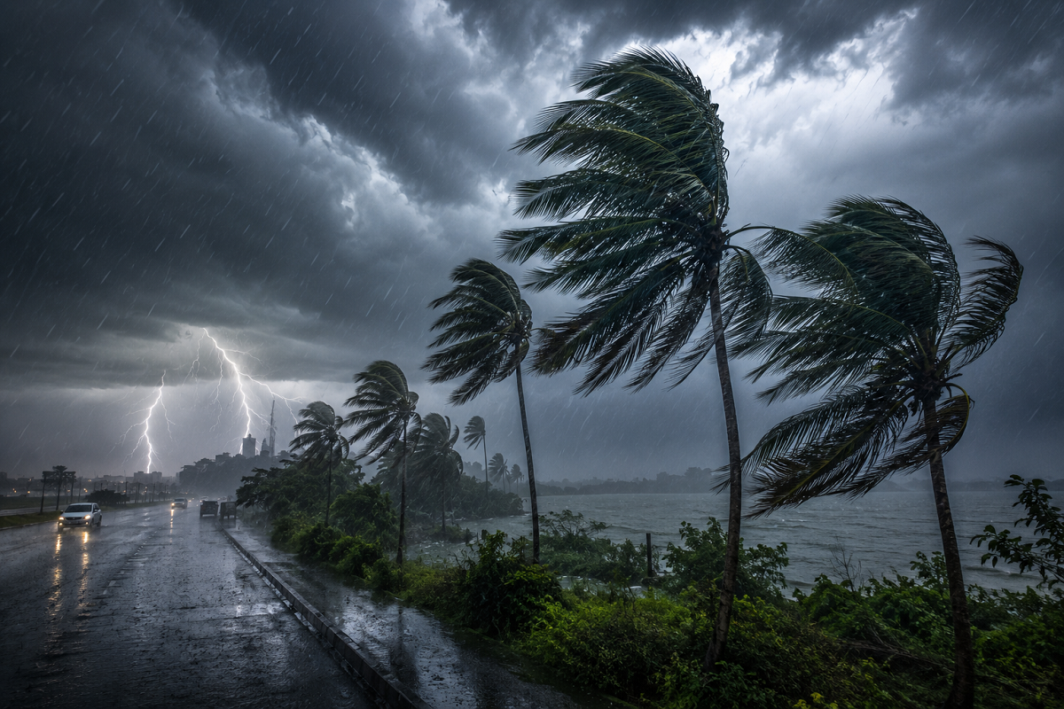
Weather Today, August 18, 2026: The monsoon remains highly active across large parts of India, with heavy rain, thunderstorms and strong winds expected in several states today. According to the latest forecast, intense weather may affect parts of Uttar Pradesh, Bihar, Delhi, Rajasthan, Haryana, Uttarakhand, Punjab, Himachal Pradesh, Jammu and Kashmir, Jharkhand, West Bengal, Odisha, Madhya Pradesh, Chhattisgarh, Gujarat, Maharashtra, Assam, Kerala and Andhra Pradesh.
In some areas, wind speeds may reach 70-75 kmph, while lightning, hail and short spells of very heavy rain are also possible. Farmers, fishermen and people living in vulnerable areas have been advised to remain cautious.
The weather pattern is being supported by cyclonic circulations over parts of northern India and Rajasthan, which are helping maintain widespread monsoon activity.
Delhi Weather Today: Rain and Strong Winds Likely
Delhi is likely to witness moderate to heavy showers during August 18, along with gusty winds.
Wind speeds may touch around 40-50 kmph in some areas during thunderstorm activity.
The maximum temperature in the national capital is expected to remain near 34°C, while the minimum may settle around 27°C.
Commuters should be prepared for temporary waterlogging and traffic delays in areas receiving intense rain.
Uttar Pradesh: Heavy Rain and Winds Up to 75 Kmph
Several districts of Uttar Pradesh are under a heavy rain and thunderstorm alert.
Affected areas include Ghaziabad, Meerut, Noida, Agra, Mathura, Kanpur, Mirzapur, Muzaffarnagar, Bulandshahr, Balrampur, Bijnor, Maharajganj, Gorakhpur, Azamgarh, Deoria, Sonbhadra, Chandauli, Mau, Varanasi and Prayagraj.
Thunderstorm-related winds could reach 70-75 kmph in some areas.
Lucknow is expected to record a maximum temperature of around 31°C and a minimum of nearly 27°C.
Bihar Weather: Yellow Alert for Rain and Thunderstorms
Bihar may also experience strong weather activity today.
Heavy rain and thunderstorms are possible in Gaya, Patna, Saran, Siwan, Buxar, Begusarai, Samastipur, Darbhanga, Madhubani, Purnia, Kishanganj, Araria, Saharsa, Supaul, Khagaria and Bhagalpur.
Wind gusts may reach 65-70 kmph in isolated areas.
Patna's temperature is expected to remain between approximately 27°C and 31°C.
People should avoid open fields and isolated trees during periods of lightning.
Jharkhand: Rain and Gusty Surface Winds Expected
Jharkhand may see another wet day, with heavy showers and thunderstorms forecast in Ranchi, Khunti, Deoghar, Dhanbad, Sahibganj, Jamshedpur, Bokaro, Palamu, Latehar, Ramgarh and Lohardaga.
Ranchi is expected to remain comparatively cool, with temperatures around 23°C to 24°C.
Persistent rain may create localised waterlogging and slow traffic movement in urban areas.
Uttarakhand: Heavy Rain Raises Landslide Concerns
In Uttarakhand, districts including Pithoragarh, Chamoli, Almora, Nainital, Rudraprayag, Udham Singh Nagar, Champawat and Bageshwar may receive heavy rain accompanied by thunderstorms.
Wind speeds could reach 50-60 kmph in some areas.
Dehradun is likely to record a maximum temperature of approximately 26°C and a minimum of around 23°C.
Travellers heading to hilly areas should remain alert to the possibility of landslides, falling rocks and temporary road blockages.
Himachal Pradesh: Rain Alert for Several Districts
Heavy rain and thunderstorms are also forecast across parts of Himachal Pradesh.
Kangra, Shimla, Sirmaur, Hamirpur, Solan, Kullu, Bilaspur and Chamba are among the districts where strong weather activity is expected.
Wind speeds may rise to 50-60 kmph during thunderstorms.
Manali could see temperatures ranging from approximately 11°C to 16°C.
Jammu and Kashmir: Heavy Rain and Thunderstorms Possible
Parts of Jammu and Kashmir may receive intense rain along with strong winds.
Districts under watch include Poonch, Kulgam, Jammu, Pulwama, Anantnag, Rajouri, Udhampur, Kathua and Ganderbal.
Wind gusts may reach around 50-55 kmph.
Srinagar is expected to record a maximum temperature near 30°C and a minimum close to 20°C.
West Bengal: Strong Winds and Heavy Rain Likely
West Bengal is likely to witness widespread rain and thunderstorm activity.
Areas including Kolkata, Howrah, Bankura, Murshidabad, West Midnapore, East Burdwan, North 24 Parganas and Nadia may experience heavy showers.
Wind gusts could exceed 60 kmph in some places.
Kolkata's temperature is expected to remain between approximately 27°C and 32°C.
Punjab: Heavy Showers in Several Districts
Rain and thunderstorms are also likely across Punjab.
Amritsar, Gurdaspur, Ludhiana, Patiala, Bathinda, Faridkot, Ferozepur, Kapurthala, Sangrur and Jalandhar may receive heavy showers.
Wind speeds may reach 45-50 kmph during storm activity.
Rajasthan: Rain Alert for Eastern and Southern Parts
Several districts of Rajasthan may receive heavy rainfall during August 18.
These include Alwar, Karauli, Jhalawar, Baran, Ajmer, Kota, Udaipur, Bhilwara and Pratapgarh.
Strong winds of around 50-60 kmph are possible in some areas.
Jaipur is expected to record a maximum temperature of nearly 33°C and a minimum of approximately 26°C.
Madhya Pradesh: Heavy Rain and Thunderstorms Forecast
In Madhya Pradesh, districts including Dindori, Vidisha, Khandwa, Mandla, Indore, Katni, Narmadapuram and Chhatarpur may witness heavy rain.
Wind speeds could reach 50-55 kmph during thunderstorms.
Bhopal is likely to record temperatures between around 24°C and 28°C.
Temperature Forecast for Major Cities
| City | Maximum Temperature | Minimum Temperature |
|---|---|---|
| Delhi | 34°C | 27°C |
| Mumbai | 30°C | 28°C |
| Chennai | 36°C | 28°C |
| Kolkata | 32°C | 27°C |
| Lucknow | 31°C | 27°C |
| Patna | 31°C | 27°C |
| Ranchi | 24°C | 23°C |
| Bhopal | 28°C | 24°C |
| Jaipur | 33°C | 26°C |
| Shimla | 24°C | 19°C |
| Nainital | 22°C | 20°C |
Special Advisory for Farmers and Fishermen
The current weather pattern could create risks for agriculture in areas expecting thunderstorms, strong winds or hail.
Farmers should avoid spraying pesticides or fertilisers during periods of heavy rain and secure harvested crops in a dry place wherever possible. Strong winds can damage standing crops and orchards, particularly in exposed locations.
Fishermen should follow local marine advisories and avoid venturing into rough waters when severe weather warnings are in effect.
What People Should Do During Thunderstorms
During lightning and strong winds, people should avoid standing under large trees, near electric poles or beside temporary structures.
Travel through waterlogged roads should also be avoided because the depth of accumulated water may be difficult to judge.
The August 18 forecast suggests another active monsoon day across India. Since weather conditions can change quickly, residents should continue checking the latest local alerts before travelling or planning outdoor activities.