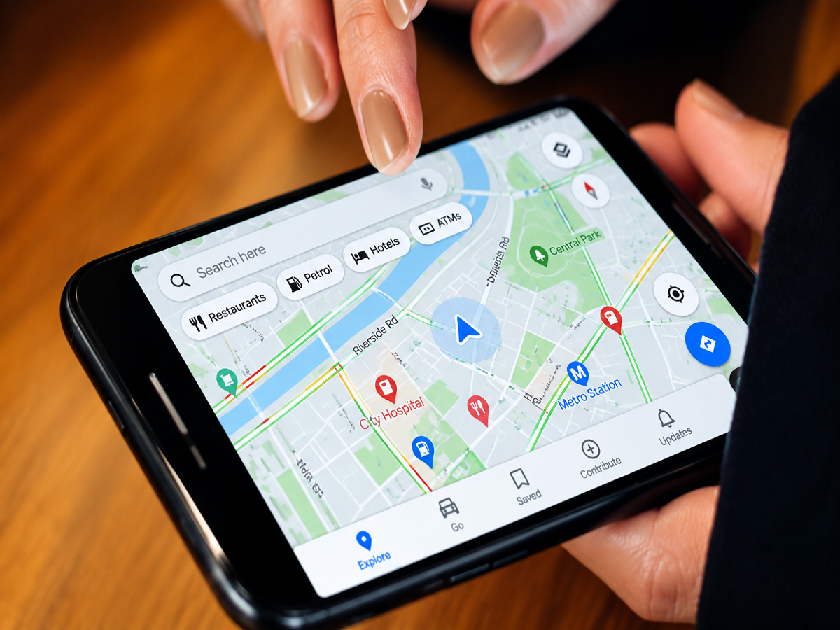
Google Maps is no longer limited to finding addresses and providing turn-by-turn directions. The navigation service can also warn drivers about traffic jams, crashes, construction work, lane closures, flooded roads, speed cameras and reported police activity.
Seeing a police icon appear on the map may give the impression that Google is automatically detecting police vehicles. In most cases, however, that is not how the feature works. Police alerts are primarily based on reports submitted by drivers using Google Maps or Waze.
Here is how the crowdsourced reporting system collects, verifies and removes these alerts.
Does Google Maps automatically detect police vehicles?
Google Maps does not normally use GPS, cameras or satellites to identify individual police vehicles. A police alert generally begins when a driver notices police activity and reports it through the navigation interface.
The driver’s current location helps Maps place the report at the relevant section of the road. Other users approaching that location may then see a police symbol on the map or hear an audio warning, depending on their alert settings.
The report indicates that police activity was recently observed at that location. It does not explain why officers are present. They may be managing traffic, attending an accident, conducting a roadside check or dealing with another incident.
Drivers provide most police alerts
Crowdsourcing is the foundation of the system. While navigating, a user can open the reporting menu and select the category that best describes the situation.
Google’s official Android Auto instructions list several reportable incidents, including:
- Crash
- Traffic slowdown
- Mobile speed camera
- Police presence
- Construction
- Lane closure
- Object on the road
- Flooded road
- Low visibility
- Unploughed road
Some categories are only available in selected countries. The exact options may also differ between the Google Maps mobile application, Android Auto and Apple CarPlay. Google’s Android Auto Help page provides the current list of supported road reports.
When a driver submits a police report, Google Maps records the road position and may display the alert to other people travelling along the same route.
Other drivers help confirm the report
A single report does not necessarily remain on the map indefinitely. When approaching the reported location, other drivers may be asked whether the police activity or road incident is still present.
Users can respond by selecting “Yes” or “No.” These confirmations help the system determine whether the alert remains useful.
If several drivers indicate that the police are still there, the report may continue appearing. If users say the alert is no longer accurate—or if nobody confirms it for a certain period—it can be removed.
Google does not publish every detail of the ranking and expiry process. Factors such as the report’s age, recent confirmations, location and surrounding traffic may influence how long it remains visible. Therefore, a police alert should be treated as recent community information rather than a guaranteed live update.
Waze reports may also appear in Google Maps
Google owns both Google Maps and Waze, although they continue to operate as separate navigation applications. Waze has long relied on its community to report police sightings, crashes, road hazards and congestion.
Google announced a closer connection between their reporting systems, allowing some Waze-sourced incidents to appear in Google Maps. When this happens, Maps may identify the information as coming from Waze drivers. Google’s official update said the improved reporting experience covers incidents such as police presence, construction, lane closures and objects on the road. Google’s Maps and Waze announcement explains this expanded sharing system.
Waze also lets users specify certain types of police reports, such as general police presence, a mobile camera, a hidden officer or activity on the opposite side of the road. The available categories differ by country. According to Waze Help, reports should only be submitted for incidents seen in real time and as close as possible to the actual location.
Police alerts and traffic estimates use different data
Although both features appear in the same navigation application, traffic estimates and police alerts are not generated in exactly the same way.
Google Maps can estimate traffic conditions by examining anonymous or aggregated movement patterns from connected devices, along with historical traffic information and other available data. Machine-learning systems compare current vehicle movement with typical road conditions to estimate congestion and arrival times.
Police presence is different because a slow-moving group of phones cannot tell Google why traffic has slowed. It may be caused by a crash, construction work, heavy rain or a police checkpoint. A user report provides the missing context.
In simple terms, location patterns can help Maps detect that vehicles are moving slowly, while community reports help explain what drivers have seen on the road.
How to submit a police report in Google Maps
The reporting feature may be available during active navigation on a smartphone, Android Auto or Apple CarPlay.
The general process is:
- Start navigation in Google Maps.
- Tap the report icon displayed on the navigation screen.
- Select “Police” from the available categories.
- Confirm the report if the application requests confirmation.
- Allow Maps to place the alert near the current road location.
The button’s design and position may vary depending on the device and application version. The option may also be unavailable in certain regions.
Drivers should never operate a phone while the vehicle is moving. A passenger can submit the report, or the driver should stop at a safe and legal location before interacting with the screen.
Can Google Maps police alerts be inaccurate?
Yes. Since the information is community-generated, reports can be outdated, incorrectly positioned or submitted by mistake. Police may also leave shortly after an alert is posted.
Temporary network problems can delay reports, while rural areas with fewer Google Maps or Waze users may have limited coverage. Similarly, a busy urban route may receive faster confirmations because more drivers pass through the area.
Police alerts are therefore useful as general road-awareness information, but they should not be treated as a replacement for official traffic announcements, road signs or instructions from law-enforcement officers.
How to control road alerts
Users can manage supported warnings through Google Maps’ navigation or alert settings. On compatible in-car systems, the “Alert options” section allows drivers to switch available warnings on or off.
Keeping alerts enabled can help users prepare for congestion, lane restrictions and roadside incidents. Nevertheless, the main purpose of the feature is safer and better-informed navigation—not avoiding traffic laws. Drivers must continue following speed limits, signs and police directions whether an alert appears or not.