
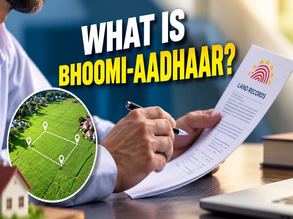
Property owners could see a major transformation in the way land records are maintained and accessed in India. Under the Digital India Land Records Modernization Programme (DILRMP) 3.0, the government is preparing to make land-related information more organised, interconnected and digitally accessible.
A key feature of the proposed system is a 14-digit unique identification number for individual land parcels, commonly referred to as Bhu-Aadhaar. The objective is to provide each identified land parcel with a distinct digital identity and connect information such as maps, ownership records and registration details through modern digital systems.
The programme is expected to cover both rural and urban land records and make greater use of Geographic Information System (GIS) technology.
What Is the 14-Digit Bhu-Aadhaar?
One of the most important elements highlighted under the land-record modernisation initiative is the creation of a unique identification system for land parcels.
Under this framework, a land parcel would be associated with a 14-digit unique number, popularly described as Bhu-Aadhaar.
The concept can be understood as a unique digital identifier for a specific piece of land. Instead of depending only on different local record numbers and documents, a unique parcel identifier can help connect relevant information to a clearly identified property.
This could make it easier for government departments and property owners to identify the correct parcel and access its associated digital records.
However, Bhu-Aadhaar should not be confused with a person's Aadhaar number. It is meant to identify a land parcel, not an individual.
Why Is the Government Digitising Land Records?
Land information in India can exist across multiple records and departments. Property maps, rights records, registration documents and other information may be maintained separately.
DILRMP 3.0 aims to bring these different elements into a more integrated digital framework.
The programme seeks to use technology to improve the organisation of land information and make records easier to manage.
Better integration could also help reduce discrepancies caused by mismatched or outdated records. A unique identification number for each parcel may further help authorities distinguish one property from another.
₹565.5 Crore Budget Planned for 2026-31
According to the provided information, ₹565.5 crore has been allocated for DILRMP 3.0 for the period from 2026 to 2031.
A major objective during this period is to bring different types of land records into a GIS-based digital ecosystem.
GIS technology allows property information to be associated with geographical and map-based data. This can help create a more accurate digital representation of land parcels and their locations.
States to Develop GIS-Enabled Land Stack
Another important part of the programme is the proposed creation of a GIS-enabled Land Stack in states.
The Land Stack is intended to bring multiple categories of land information together.
This can include land maps, Records of Rights and registration-related information. Instead of these records remaining isolated across separate systems, the objective is to digitally connect them.
Such integration could make it easier to retrieve information relating to a particular parcel and improve coordination between different parts of the land administration system.
Old Property Registration Documents to Be Digitised
Land registration records can go back several decades, and many older documents may exist primarily in physical form.
Under the modernisation programme, old land and property registration documents are expected to be scanned and converted into digital records.
Digitising historical documents can make them easier to preserve and retrieve.
It could also reduce dependence on ageing paper records and make searches more convenient where digital access is made available.
However, digitisation itself does not automatically resolve ownership disputes or establish title. The legal status of a property will continue to depend on applicable records, laws and procedures.
75 Busy Sub-Registrar Offices to Be Modernised
Property registration often requires people to visit a Sub-Registrar Office. In busy areas, these offices can handle a large volume of registrations and related work.
Under DILRMP 3.0, 75 high-footfall Sub-Registrar Offices are proposed to be developed into modern service centres.
The objective is to improve the property-registration experience through upgraded infrastructure and more efficient digital processes.
Modernisation could potentially reduce paperwork and make access to registration-related services more streamlined.
Revenue Court Records May Be Linked With Land Records
Land disputes often involve proceedings before revenue courts, while property information is maintained separately in land-record systems.
The programme also proposes working towards linking revenue court records with land records.
Such integration could make it easier to identify cases connected with a particular land parcel and may help authorities access relevant information more efficiently.
It is also expected to support faster handling of land-related matters, although actual case disposal will continue to depend on legal proceedings and administrative processes.
Urban Areas to Get GIS-Based Property Records
The initiative is not restricted to agricultural or rural land.
Under the NAKSHA pilot project, the government is working towards creating more accurate GIS-based land records in urban areas.
Urban properties can be more complex because of dense construction, subdivisions and rapidly changing land use.
GIS-based mapping can help create a clearer geographical record of individual properties.
What Is the Urban Property Card?
The provided information also mentions the proposed issuance of an Urban Property Card, or UrPro Card, under the urban land-record initiative.
The card is intended to be associated with digitally mapped urban property information.
Together with GIS mapping, such property cards could help provide a more structured way of accessing relevant urban land information.
The exact rollout, availability and legal use of these cards will depend on implementation by the concerned authorities.
Could Bhu-Aadhaar Help Prevent Property Fraud?
A unique digital identity for each land parcel could potentially make certain types of manipulation or record mismatch more difficult.
If maps, registration information and rights records are properly linked to a unique parcel identifier, authorities may find it easier to detect inconsistencies between different databases.
This could help improve transparency and reduce the possibility of errors or fraudulent manipulation.
However, a unique land ID should not be considered an automatic guarantee against every type of property fraud or ownership dispute.
Buyers should still carry out proper title verification and other legal checks before purchasing land.
Will Existing Landowners Need to Do Anything?
The information provided about DILRMP 3.0 describes the broader digitisation framework but does not specify a universal action that every landowner must immediately complete.
Therefore, property owners should not assume that they need to visit a registration office right away to obtain a new number.
Implementation may vary by state and locality as land-record databases, GIS maps and registration systems are integrated.
Landowners should follow official notifications from their respective state land-record or registration departments regarding any action required from them.
Bhu-Aadhaar Is Not a Replacement for Ownership Documents
Another important distinction is that a 14-digit land identifier should not automatically be treated as a substitute for a registered sale deed or other legally relevant ownership documents.
Its primary purpose is to give a land parcel a unique digital identity and improve the organisation and linking of property information.
Property ownership and transfer will continue to be governed by applicable laws, registration requirements and official records.
Land Registration Could Become More Digital
DILRMP 3.0 represents a broader effort to modernise India's land administration system between 2026 and 2031.
The proposed changes include a 14-digit Bhu-Aadhaar for land parcels, GIS-enabled Land Stacks, digitisation of old registration documents, modernisation of 75 busy Sub-Registrar Offices, integration of revenue court information and GIS-based urban property records through the NAKSHA initiative.
For property owners, the biggest potential benefit is easier identification and access to more organised land information. For authorities, interconnected digital records could improve administration and help identify discrepancies.
The transition will not happen everywhere overnight, and implementation may differ across states. But as the programme progresses, the traditional paper-heavy land-record system could increasingly move towards a digitally connected model where every identified plot has its own unique land identity.